Accurate Population Insight Through Thermal Drone Survey
Effective deer management begins with accurate population data. Traditional ground observation alone can underestimate numbers, particularly in woodland or low-visibility environments.
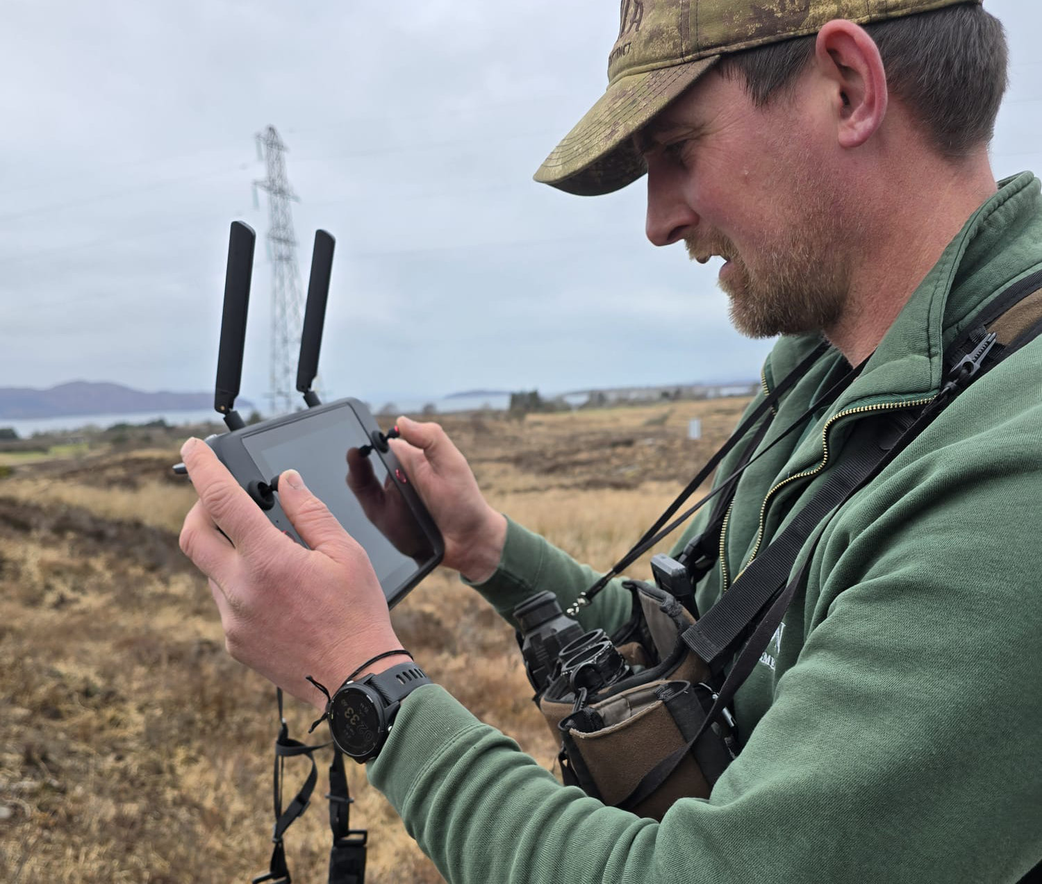
Dixon Deer Management utilises thermal drone survey technology to provide reliable population assessment and density mapping before structured management plans are implemented.
Data-Led Decision Making
Thermal imaging allows deer to be identified clearly during low-light conditions, improving accuracy when assessing population density across compartments and landholdings.
Accurate data supports proportionate intervention and ensures that management activity is justified, measurable and aligned with estate objectives.
Supporting Structured Management Plans
Survey findings inform tailored deer management programmes, helping estates determine appropriate reduction targets and long-term population strategy.
This evidence-based approach reduces reliance on anecdotal estimates and strengthens accountability.
Applications Across Estates & Forestry
Thermal drone surveys can support:
- Baseline population assessment prior to intervention
- High-density population review
- Woodland regeneration protection strategies
- Ongoing monitoring within structured management programmes
Clear data enables informed decision-making across both commercial and conservation objectives.
Professional & Compliant Operation
All drone operations are conducted in accordance with current aviation and regulatory requirements. Our approach combines modern surveying capability with practical field experience and structured reporting.
Thermal drone assessment forms a key part of delivering accountable, compliant deer management.